This blog post and video is the result of my failure to get another service, that won’t be named, to do what I hoped it would. I was trying to come up with a way for students to create online, interactive atlases. After banging my head against my keyboard for a while I finally said to myself, “hey, see if you can do this in Canva?” So I did and it works!
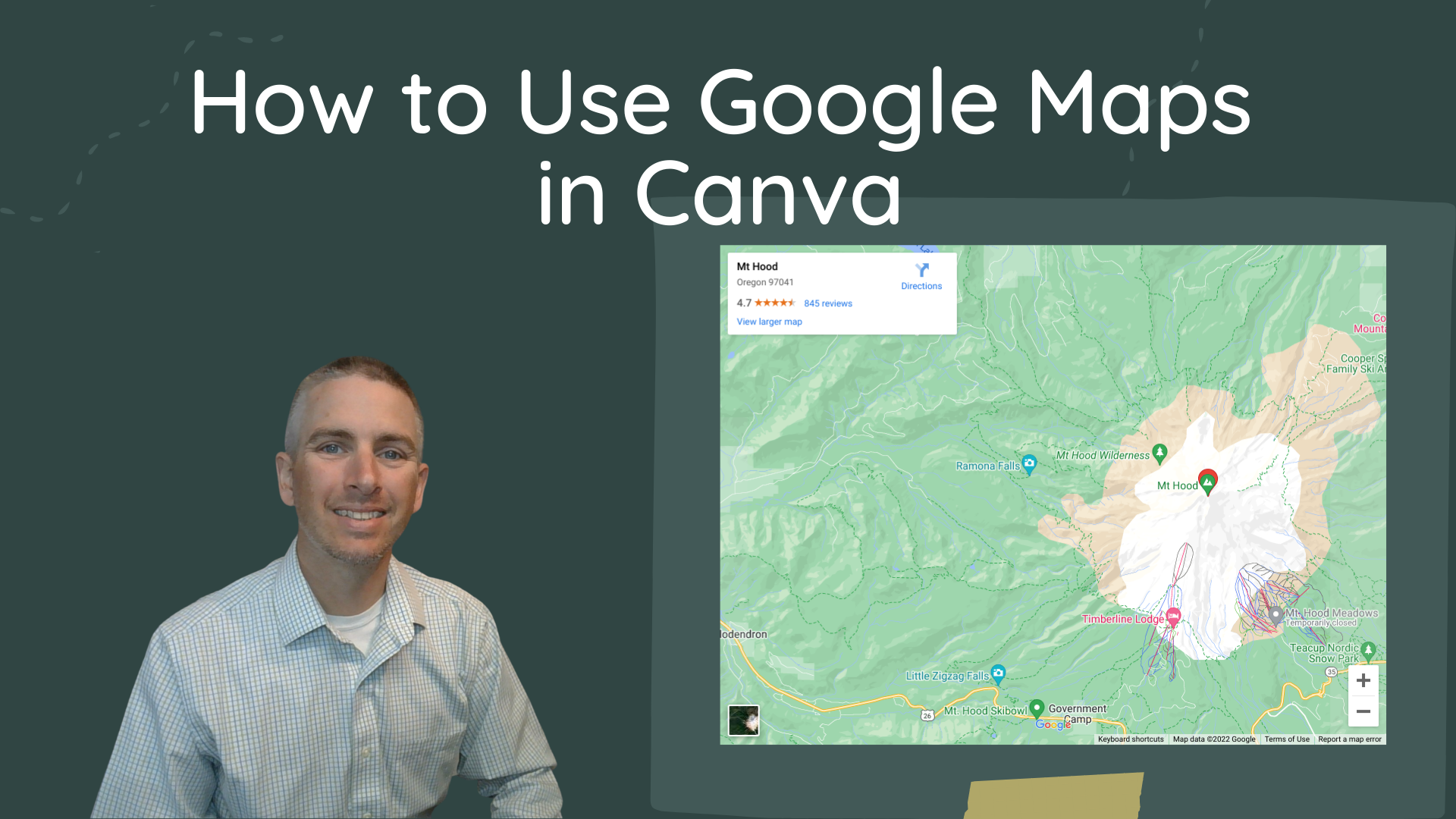
In this new video I demonstrate how to embed Google Maps and Google Street View imagery into Canva designs. There are a few things that are notable about this. First, you can interact with the map and the Street View imagery directly inside of your Canva design. Second, you can publish and share your design as a website where others can also interact with the map and Street View imagery. Third, the method that I demonstrate in the video works with any Canva design template.
Applications for Education
Embedding working Google Maps and Street View imagery into a presentation could be a great way for students to build online atlases. It’s a good way for you as a teacher to have a set of maps and images ready to go when teaching a lesson. Rather than searching in Google Maps in front of the class, you can have the exact map views that you want to share ready to go in a set of slides.