Credit: David Rumsey Map Collection, David Rumsey Map Center, Stanford Libraries. Source 1. Source 2.
In this week’s Practical Ed Tech Newsletter I mentioned that digital mapping tools is one of the areas of educational technology that I’m still passionate about after sixteen years and 17,000 blog posts. And making comparisons through the use of overlays is one of my favorite digital mapping activities to do with students.
Parts of the David Rumsey Historical Map collection has been available in the desktop version of Google Earth for quite a while. Recently, almost the entire collection was made available on the Internet Archive. Today, there are 111,792 items from the David Rumsey Historical Map Collection cataloged on the Internet Archive.
The vast majority of the maps that are available in the David Rumsey Historical Map Collection on the Internet Archive are Creative Commons licensed. That means you can download them and use them for non-commercial purposes provided that you provide proper attribution.
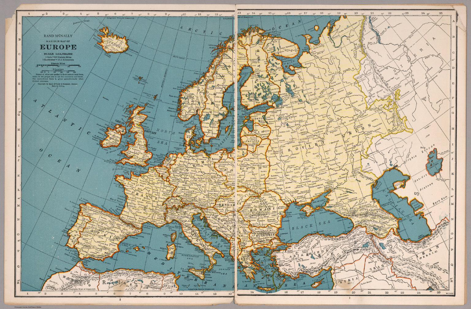
Credit: David Rumsey Map Collection, David Rumsey Map Center, Stanford Libraries. Source 1. Source 2.
Applications for Education
Even if you don’t create overlays with the historical maps in the collection, you can still use these maps for comparison purposes. One simple activity that you can do is to download one of the historical maps and have students try to identify what’s different about the historical map compared to the contemporary view of the world. For example, the map at the top of this post is of the United States in 1880. I’d ask my U.S. History students to try to identify which states are missing from that map compared to the fifty states today. You could do a similar activity in a European history class by using the 1939 map that I’ve included in the center of this blog post.